
Transitioning towards sustainable management practices
Hilton Collier
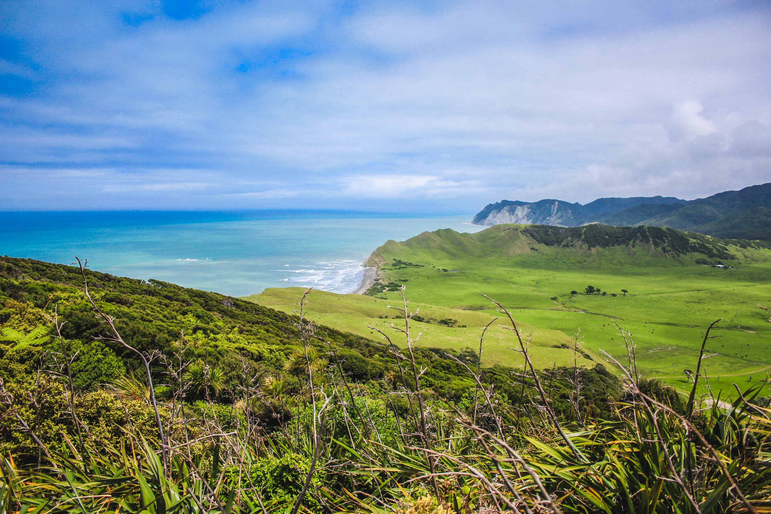
Photo: Tairāwhiti
It is now two years since Cyclone Gabrielle hit our region leaving our landscape scarred, hill country heavily eroded and high value flats buried under layers of wood and silt. Homes were flooded and communities isolated by road closures and bridges washed away.
We have witnessed an immediate response with woody debris and silt remediation work, homes in lower lying areas either ruled inhabitable of lifted above flood levels and road progressively being reopened. Great near-term response to aid the regions recovery. However the longer term challenge of creating sustainable land management practices remains.
The Tairāwhiti Whenua Charitable Trust (TW) is a collective representing 200,000+ ha of Whenua Māori from Wairoa to Potaka in the north. TW is delivering a work program that will help landowners and their community in which they live to better understand their land resource.
The program is designed provide landowners with updated mapping to understand their land use capability and susceptible connectivity layers or Overlay 3B areas. These are areas that are most at risk of future erosion and need to be transitioned into a permanent tree cover preferably native overtime.
This work is aligned with Freshwater and biodiversity plans which have all be on hold after the current government signalled a change in approach after the election.
An important issue for many land blocks is the question of how they might find the funds to enable the work to be carried out. Some preliminary analysis completed by Forest Manager, Matene Blandford indicated as much as 15% of the memberships area was eligible for inclusion in te Emissions Trading Scheme but had not been registered. Much of this area was in indigenous reversion species ( including manuka and kanuka). As a rough indication, this might be worth $350/ha/year to landowners.
TW is running a series of community wananga across the region initially. The next part of the program is an opportunity for landowners to have their lands mapped and plans made to meet their ambitions. The wananga includes Kerry Hudson and Bryce Mcloughlin from Gisborne District Council, Lachie Grant of Landvision, a specialist in land management and mapping, Kate Walker and Pia Pohatu, Environmental consultants, Matene Blandford and Duncan Harrison Forest Managers and specialists in the Emissions Trading Scheme (ETS).
The work is being coordinated by TW Focus Group Coordinators Pania King and Bella Hawkins with support from Hilton Collier.
TW looks forward to providing updates on this mahi.